


jackash.com
A Personal Journey...
... Of Surviving the Wilderness

Once you have connected with the eastern leg of the heritage highway it will take you on a southern route, past Quintette mine, to Tumbler Ridge.
Other than a few logging and oil roads there is no signs of civilization for almost a 120 km. As yet most of the road is unpaved and should only be tackled (cautiously) in good weather and with a vehicle in good repair.
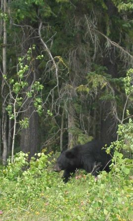
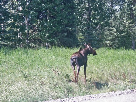
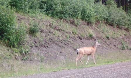
There are other creatures also enjoying the freshness of the mountain air - moose, deer, caribou, bears and coyotes. at any moment they may come bounding out the bush and nod to you as you are going by.
Occasionally they will be standing on the road or cross in front of you. It is their way of saying "Slow down, we have kids too!
From Grande Prairie you head west to Dawson Creek and then continue on the Hart Highway (#97 )another 20 km (12 miles) towards Prince George As soon as you cross the Kiskatinaw river you make a left turn and head 96 km south on the heritage highway. Details and pictures are shown in the pages of The Prairies, The Forests and The Foothills.
From Grande Prairie - route 2
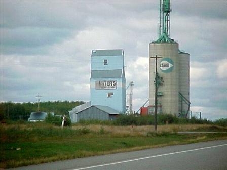
For the more adventurous there is a third route. Heading west from Grande Prairie you leave the main highway between the town of Beaverlodge and the Village of Hythe - by the elevators.
Stay Alert!
Or - for a slightly longer route (but easier to follow) stay on the main highway until you cross the BC-Alberta border and follow the signs.
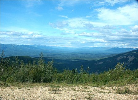
Regardless of your chosen route you will enjoy the quietness and beauty of the wilderness.
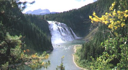
Not too far from Tumbler Ridge you will pass the turn off to the renowned Kinuso Falls (larger elevation drop than Niagra)
For more info on Grande Prairie go to: www.exploregp.com